Choosing the right Wheaton neighborhood often starts with two questions: how do you want to live day to day, and how do school boundaries line up with that vision? If you are weighing walkability, yard size, train access, and school flows, you are not alone. In this guide, you will get a clear, neighborhood-by-neighborhood overview and a simple roadmap to verify school assignments before you buy. Let’s dive in.
Wheaton at a glance
Wheaton is a mature suburb with an established downtown, a college campus, and extensive parkland. The 2020 Census counts roughly 53,970 residents, and the city’s median value of owner‑occupied housing sits around $455,700, a helpful baseline for home comparisons across micro‑areas. You can confirm both figures on the Census QuickFacts page for Wheaton. Census QuickFacts
Two Metra Union Pacific West Line stations serve Wheaton, giving you a straightforward rail option to downtown Chicago. The downtown Wheaton station anchors Main Street life, while the College Avenue station sits by Wheaton College. For station context, see this Wheaton rail map view. Wheaton Metra context
If you prefer to drive, local arterials connect you to the Reagan Tollway (I‑88) and the wider tollway system. The City’s maps page is a handy reference when you want to visualize routes to expressways. City of Wheaton maps
Wheaton also shines for parks and open space. The Wheaton Park District maintains a large network of neighborhood parks and facilities that thread through residential areas, which is useful when you want a short walk to fields or playgrounds. Wheaton Park District parks
Neighborhood profiles
Below are commonly used micro‑areas in Wheaton. Boundaries are informal outside of City planning documents, so treat these as practical guides for lifestyle and housing type, not strict lines.
Downtown and College Avenue
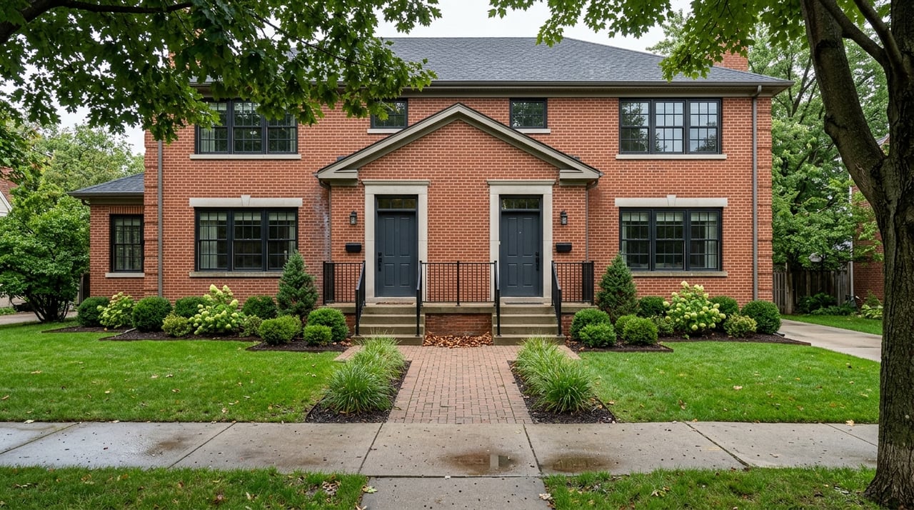
You will find the most walkable lifestyle in the downtown core and the College Avenue corridor. Shops, restaurants, and civic spaces cluster near the two Metra stations, and you will see older foursquares, period homes, and select condo or townhome infill on compact lots. Buyers who want a short walk to cafés or trains tend to start here.
School attendance varies across downtown blocks. Properties may feed different elementary schools and, in turn, different middle and high schools. Always verify an address on the District 200 boundaries page before you make a decision. CUSD 200 boundaries
For outdoor time, you are close to the Illinois Prairie Path, Memorial Park, and the broader network of neighborhood parks.
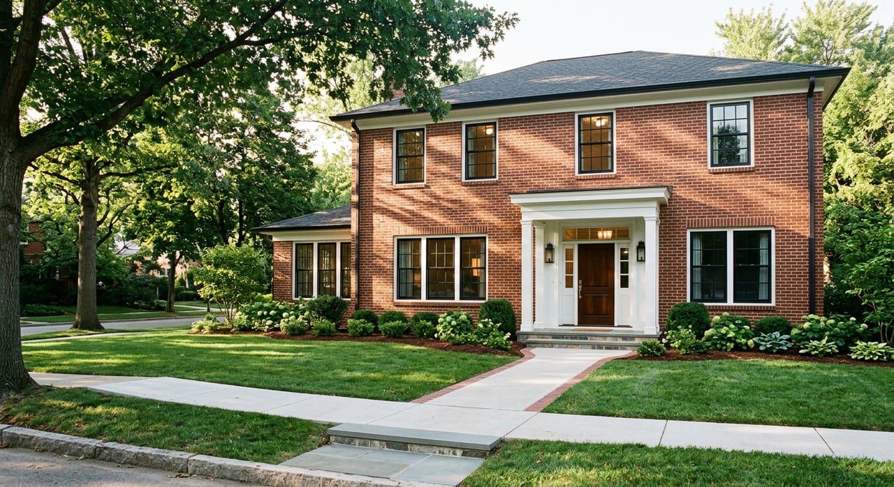
North Wheaton
North Wheaton offers tree‑lined streets with a mix of renovated older homes and mid‑century styles on moderate to larger lots. Many blocks here commonly feed into the Wheaton North High School stream, but those lines do shift by street, so confirm any specific home with the district map. CUSD 200 boundaries
If you like traditional residential character and larger single‑family homes, this pocket belongs on your list.
West Wheaton and mid‑city subdivisions
West‑side and mid‑city subdivisions read as classic suburban neighborhoods with ranches, split‑levels, and two‑story homes on predictable lots. The variety suits many budgets and space needs, and the central location keeps you close to parks and major roads.
Attendance boundaries split across this area, so treat school assignment as a property‑specific check. CUSD 200 boundaries
South Wheaton and Danada
If you want more land and adjacency to major open space, look south. The Danada area borders the Danada Forest Preserve, home to the Danada Equestrian Center, Rice Lake, and miles of trails. Proximity to the preserve is a lifestyle driver for many buyers who enjoy biking, hiking, or quiet views. Danada Forest Preserve
Homes here often sit on larger lots, and you will also see custom properties. Many addresses in this pocket feed into the Wheaton Warrenville South stream, but you should still verify by address. CUSD 200 boundaries
Northeast Wheaton large‑lot pocket
The City’s Northeast Neighborhood Plan describes this area as a large‑lot, country‑character neighborhood. Lots historically range from about 10,000 to 30,000 square feet, with an average near 20,000 square feet within the plan area. If you want long backyards and lower density inside city limits, this is a standout option. Read the City plan for context on how that character is preserved. Northeast Neighborhood Plan
As with other areas, school assignments vary within the pocket, so verify each address. CUSD 200 boundaries
Schools: how CUSD 200 works
Most of Wheaton is served by Wheaton‑Warrenville Community Unit School District 200. The district publishes a single attendance map that shows elementary, middle, and high school areas, along with the elementary to middle to high school matriculation patterns. Two high schools serve the city: Wheaton North High School and Wheaton Warrenville South High School.
The district’s attendance map was revised in May 2025 and is the authoritative reference for assignments. For the most accurate answer on a specific home, use the tools below and call the District Business Office if you need clarification. CUSD 200 boundaries
How to verify a home’s school assignment
- Open the District 200 boundaries page and review the attendance map by school level. CUSD 200 boundaries
- Review the current map PDF if you prefer a downloadable view. District 200 attendance map PDF
- Confirm the elementary, middle, and high school streams for the exact property address with the District Business Office.
Commute and lifestyle
Metra access
Wheaton has two stations on the Union Pacific West Line, which gives you a rail alternative to the highway. The downtown Wheaton station and the College Avenue station provide park‑and‑ride and walk‑up options. For an area view of the stations, start here. Wheaton Metra context
Consult Metra schedules for current travel times, since off‑peak and express runs vary by day and train type.
Driving connections
Primary county and state roads connect Wheaton to the Reagan Tollway and the regional network. If a car commute is part of your plan, use the City’s map resources to visualize routes to I‑88 and other expressways. City of Wheaton maps
Parks, trails, and open space
Wheaton’s open spaces are a major lifestyle factor. To the south, the Danada Forest Preserve offers trails, the equestrian center, and wetland views. Danada Forest Preserve
Nearby, Cantigny Park brings formal gardens, programming, and a museum set within a large estate landscape, all a short drive from central neighborhoods. Cantigny Park
Across the city, the Wheaton Park District maintains 829 acres of parks and facilities that often sit within a short walk or bike ride of residential blocks. Wheaton Park District parks
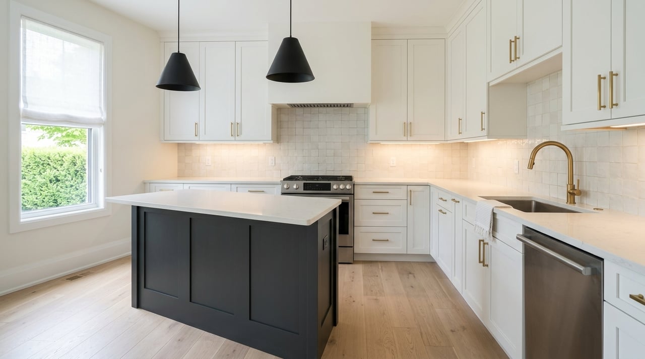
Home types and market signals
Use the citywide census baseline to frame expectations, then fine‑tune by micro‑area. Wheaton’s median value of owner‑occupied housing is about $455,700. Census QuickFacts
Portal indexes also provide directional cues. Citywide figures are currently around the high four hundreds, and neighborhood snapshots show variation that reflects lot size, age, and house size. Treat those as estimates, then use current MLS data for exact pricing when you are ready to write an offer or set a list price.
Typical size ranges you will see:
- Downtown and College Avenue: older homes and condos, roughly 1,200 to 3,000 square feet, often on compact lots.
- West‑side and mid‑city subdivisions: ranches, split‑levels, and two‑story homes, commonly 1,500 to 2,800 square feet.
- North and Northeast pockets: larger single‑family homes, often above 2,200 square feet, with some 3,000‑plus on larger lots.
- South Wheaton and Danada: home sizes tend to run larger, with many properties on big lots. Estate‑style parcels are present, especially near preserved open space.
Quick buyer checklists
If you want a short train walk
- Focus on downtown Wheaton and the College Avenue corridor.
- Confirm your preferred station’s parking and walking route. Wheaton Metra context
- Balance lot size expectations with walkability, since lots are more compact here.
If you want bigger lots and open space
- Tour South Wheaton and the Danada area for larger parcels and trail access. Danada Forest Preserve
- Explore the Northeast plan area for large‑lot, country‑character streets. Northeast Neighborhood Plan
- Confirm any address’s school stream before you buy. CUSD 200 boundaries
If school flow is your top filter
- Start with the District 200 attendance map and identify the elementary to middle to high school path for your target blocks. CUSD 200 boundaries
- Verify by address and review any stated transfer or capacity policies with the district.
- Combine academic fit with lifestyle needs like commute, yard size, and park access.
Work with a data‑driven local advisor
Choosing the right Wheaton neighborhood is both a lifestyle choice and a financial decision. You deserve a plan that blends verified data with real‑world tradeoffs. If you want strategic pricing insight for a sale, or a clear buy‑side plan grounded in boundaries, transit, and market comps, connect with Penn French for a complimentary market strategy call. Penn pairs disciplined analysis with high‑touch marketing, staging, and Compass Concierge to help you move with confidence.
FAQs
How many Metra stations serve Wheaton?
- Two. The Wheaton and College Avenue stations sit on the Union Pacific West Line and anchor downtown and college‑area commutes. View a station context map here. Wheaton Metra context
How do Wheaton’s public school boundaries work across neighborhoods?
- District 200 publishes a single attendance map that shows elementary, middle, and high school areas plus feeder patterns. Always verify a specific address with the district. CUSD 200 boundaries
What is special about Northeast Wheaton lot sizes?
- The City’s Northeast Neighborhood Plan documents a large‑lot, country‑character area, with lots historically around 10,000 to 30,000 square feet and an average near 20,000 square feet. Northeast Neighborhood Plan
Is the Danada area good for access to open space?
- Yes. Danada Forest Preserve offers trails, an equestrian center, and Rice Lake, providing extensive recreation options near South Wheaton neighborhoods. Danada Forest Preserve
What is Wheaton’s median home value right now?
- The Census QuickFacts baseline shows a median value of owner‑occupied housing around $455,700, which you can use to frame neighborhood comparisons. Census QuickFacts
How extensive is Wheaton’s park system?
- The Wheaton Park District maintains hundreds of acres across neighborhood parks and facilities, with many options close to residential blocks. Explore the system here. Wheaton Park District parks